

April 17, 2026, 8:11 am | Read time: 6 minutes
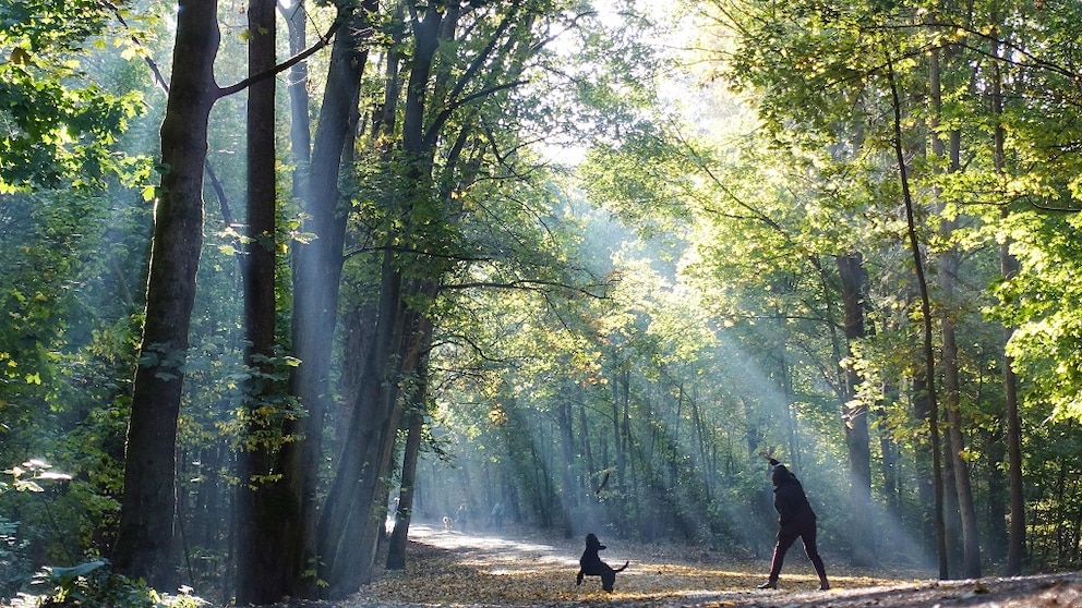
Berlin is one of the trendiest metropolises worldwide–but did you know it also captivates hiking enthusiasts? Thanks to the “Green Main Paths” concept developed by the Berlin Senate, hikers have enjoyed a sprawling network of trails across the city for over 30 years.
Of course, Berlin is one of the world’s trendiest metropolises–but did you know it’s also one of the greenest cities? More than 10,700 hectares of green spaces are spread across the cityscape, accounting for nearly 11 percent of Berlin’s area. Nature relaxation is never far away, thanks to the extensive public transportation network. However, what many might not know is that Berlin is also a capital for hiking enthusiasts. For over 30 years, a sprawling, diverse network of trails called “Green Main Paths” has made it possible to explore the city on foot.
The “Green Main Paths” concept is credited to the Berlin Senate Department for Mobility, Transport, Climate Protection, and Environment. The idea first emerged in 1994 to make the city accessible on foot for both locals and visitors. Today, there are 20 paths spanning a total of about 575 kilometers throughout Berlin. This offering is made possible through partnerships, such as with the Berlin Hiking Association and the Fuss e.V. association. Their volunteers handle trail markings and have previously provided suggestions for route planning. They also inform the Senate about any damage or construction on the paths. In every district, and often beyond their borders, you can quickly escape into Berlin’s urban nature.
Diverse and Varied
The hiking trails could hardly be more diverse and varied. The shortest of the 20 capital paths is seven kilometers long, while the longest stretches 63 kilometers. Katrin Rittel has managed the “Green Main Paths” project since late 2020 as a clerk for citywide landscape planning. She told TRAVELBOOK: “Our goal was to show people a different, greener side of Berlin. The diversity of our city should be experienced through different paths and landscapes.” The “Green Main Paths” project was not originally intended as a tourist attraction but rather as an offer to Berliners to enable relaxing and nature-oriented everyday routes.
Nowadays, tourists from around the world also enjoy the paths, especially those near the city center. To increase awareness, Berlin invests in promotional materials. For example, “Green Main Paths” flyers are available for guests at BER Airport and the main train station. The tourism information centers in the individual districts also offer them. Tech-savvy hikers can download route descriptions for individual tours as GPX and KMZ data from the Senate Department’s website for their mobile devices. These are also available as classic PDF files for printing on paper. Additionally, the third edition of the book “Berlin and Surroundings–Excursions to Berlin’s Sights,” including the corresponding hiking maps, is available from Dr. Barthels Verlag.
Forest, Water, and History
Efforts are currently underway to make the signage for the “Green Main Paths” network more intuitive. Many routes still have old blue-and-white adhesive or paint markings, some of which are barely visible or faded beyond recognition. Gradually, all 20 paths will be equipped with more informative signage, showing kilometer markers and distances to specific trail highlights. Some of these signs can already be found on certain capital hiking trails. The logo features the Berlin Bear with a hiking stick and backpack. “On such a route, you need to plan not only the start and end but also attractive intermediate destinations,” Rittel said. The new signs also point out features slightly off the main tour route.
A scenic route for nature lovers is the “Havelseenweg,” marked with the number 12. This 28-kilometer path takes you from Steglitz-Zehlendorf through Charlottenburg-Wilmersdorf to Spandau, passing through three particularly green districts. The route goes by the historic Wannsee beach. Along the water, you walk on tree-shaded paths through the Grunewald for a long time, often enjoying unique views over the Wannsee and the Havel. An additional perk is the numerous opportunities to take a dip in one of the many bays. And even though you’re in the middle of nature, the nearest bus stop is never more than a few minutes’ walk away.
Spandau–Berlin’s Most Underrated District

7 Things You Should Never Do in Berlin
Outer Districts and City Center
The 218 bus line traverses the Grunewald to Peacock Island, sometimes even in one of the historic buses. Along the way, there are numerous dining options. One can be found at the Grunewald Tower, offering perhaps the best view of Berlin’s urban nature. The restaurant ship “Alte Liebe” is a unique dining spot along the route. In the Tiefwerder Wiesen nature reserve, you might spot various bird species and perhaps even a beaver. The “Green Main Paths Number 12” route then follows a more urban promenade toward the old town of Spandau. Other highlights include the historic Eiswerder Island and the Bürgerablage bathing area. The path ends just before Berlin’s city border with Hennigsdorf.
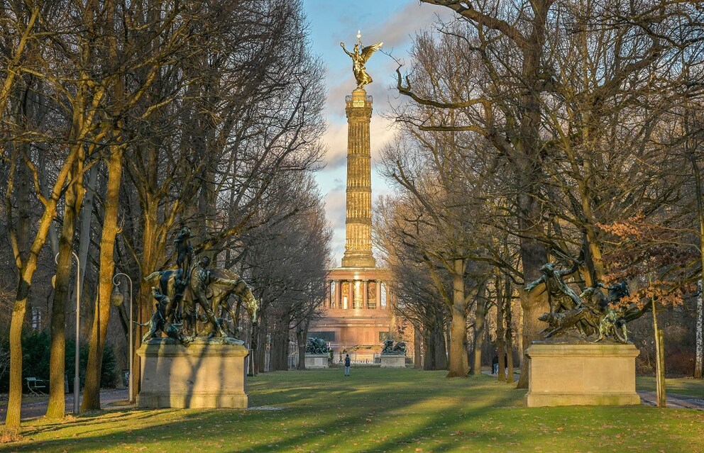
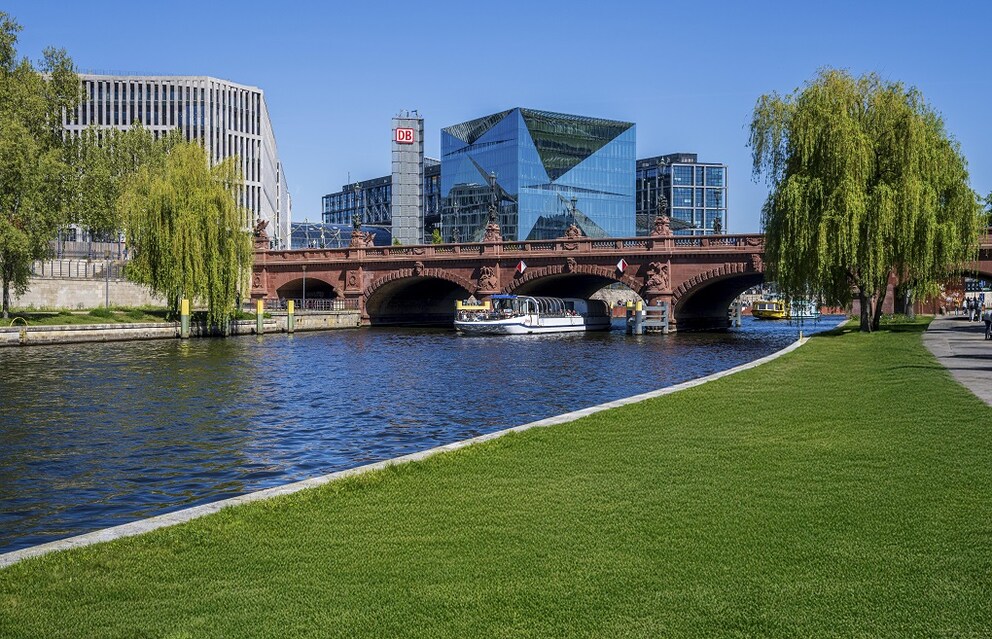
Sometimes, hikers must navigate along busy roads. Tours through the city center on paved paths are also part of the “Green Main Paths” program. The Spreeweg (Path Number 1), for example, passes through the Großer Tiergarten and the government district. It also goes by the East Side Gallery, a section of the former Berlin Wall known for its spectacular graffiti. It only becomes quieter in the old town of Köpenick and at the Müggelsee. According to Rittel, Path 19, the Tiergarten Ring, is particularly popular with tourists. It leads through the Tiergarten Park and past Bellevue Palace, the official residence of the German president. Outside the center, there is nature and Berlin history to discover along the Barnimer Dörferweg (13) and the Teltower Dörferweg (17).
Also for People with Limited Mobility

The Bullengrabenweg (20) in Spandau is suitable for families and people with limited mobility. At seven kilometers, it is the shortest in the “Green Main Paths” program. It runs entirely on a paved path, accessible by bike, inline skates, or wheelchair. Numerous playgrounds and a skate park entice young hikers to take longer breaks. The nearest bus stop is never more than five minutes away. At the Spandau Ziegelhof, the “Florida” ice cream parlor, perhaps Berlin’s best ice cream manufacturer, awaits connoisseurs.
Individual hiking opportunities also arise from the fact that many “Green Main Paths” partially overlap. This allows you to combine them into entirely new routes. For example, the Havelseenweg (12) can be extended with elements of the Spandauer Weg (2) and further with the Bullengrabenweg (20). The Wuhletalweg (14) and the Barnimer Dörferweg (13) also share a common start and end point. Discover what else there is to explore on your next visit to Berlin.